Natural Resources
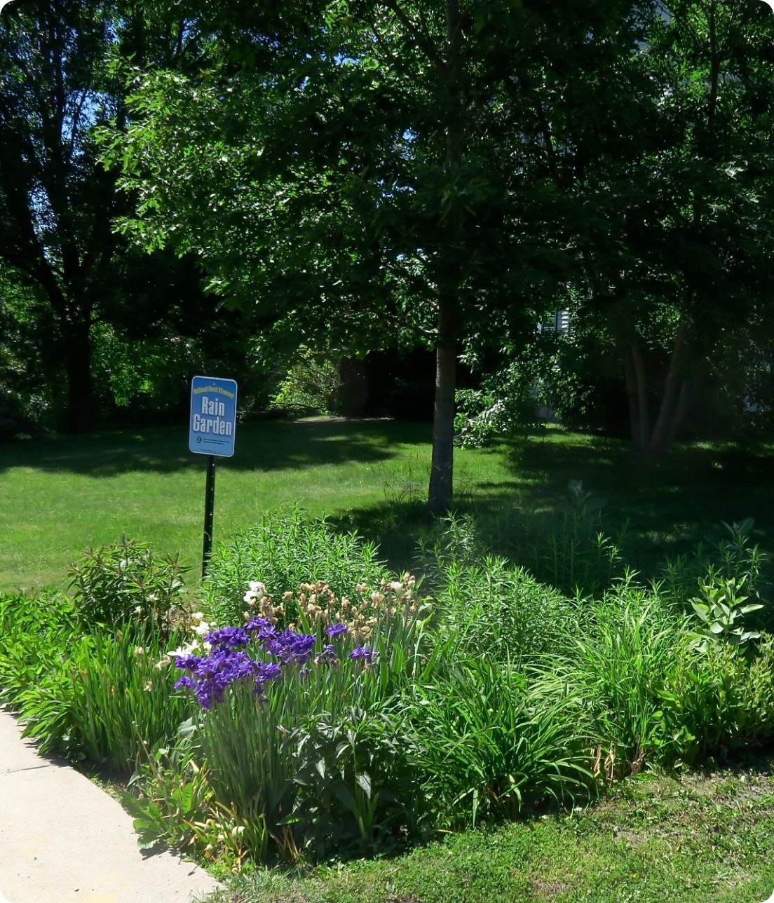
Regional Planning focuses on more than just growth and development, it also includes planning for conservation of our natural resources such as climate, forests, and water quality. The RRPC works with individuals, partners, and state agencies with the goal of protecting our region’s most precious natural resources and promoting sustainability, resilience, preservation, and environmental stewardship.
Contact Our team for personal assistance

Protect or Restore Specific Waters
Tactical Basin Plans focus on the projects or actions needed to protect or restore specific waters and identify appropriate funding sources to complete the work, based on monitoring and assessment data.
These tactical plans will guide all watershed work supported by the State and the issues identified in these plans are the ones that will be prioritized for management attention, including funding.
The Otter Creek Tactical Basin Plan (Basin 3) guides the Rutland Region’s Upper Otter Creek watershed.
The South Lake Tactical Basin Plan (Basins 2 & 4) guides the Rutland Region’s Lower Lake Champlain watershed.
________________________________________________________________
Get Involved! FEEDBACK SURVEY
Note: The Vermont Agency of Natural Resources is in the process of updating the Otter Creek Tactical Basin Plan. Your feedback in this survey will help the State better understand your knowledge, concerns and activities concerning water quality in this basin. Thank you in advance for filling it out.

Preparing For & Mitigating Floods
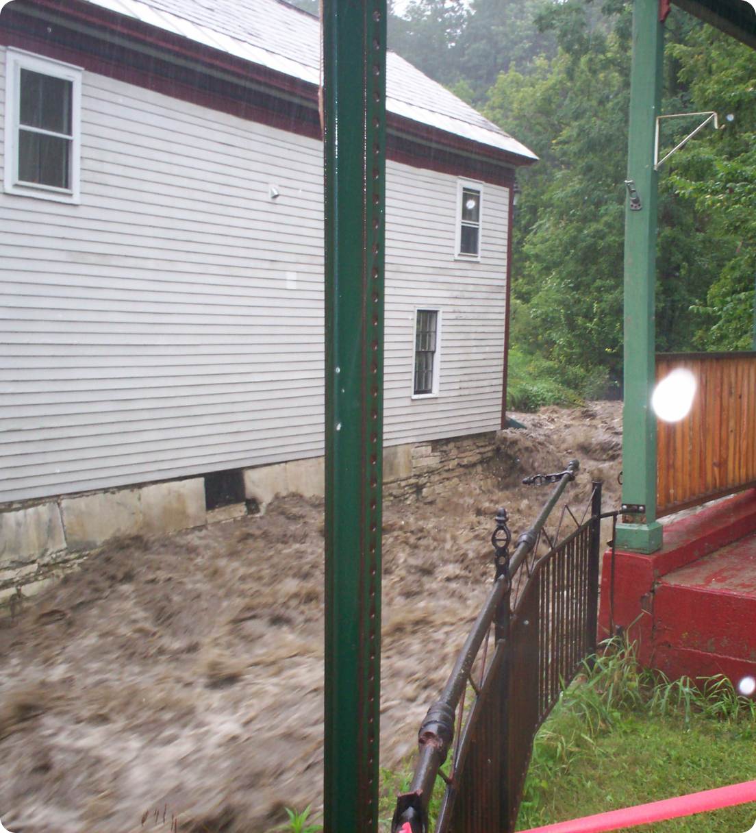
Flooding is the greatest natural disaster risk in Vermont and in the Rutland Region, and the RRPC assists municipalities in preparing for and mitigating those risks by establishing local regulations.
River Corridor Bylaws are local land-use rules that that provide the physical space, or buffer, that a river needs to move so that the force of the water can be dispelled naturally.
Flood Hazard Regulations are areas mapped by FEMA where flooding and inundation are likely and include regulations to curb the likelihood of risks to homes and buildings.

Reduce The Impacts of Flooding
The focus of the program is to reduce the impacts of flooding on private and public structures through local community adoption of a minimum set of local land use regulations in FEMA-mapped floodplains.
Emergency Relief and Assistance Fund (ERAF) is a mechanism for municipalities to access state funding after federally-declared disasters and towns can increase the state’s contribution percentage by adopting basic mitigation and resiliency measures.
The National Flood Insurance Program (NFIP) is a federal program to make government-backed flood insurance available across the country.
The NFIP is referred to as a “three-legged stool”, meaning there are three parts that help support the program – Flood Insurance, Floodplain Development Regulations, and Floodplain Maps.

Funding for Municipal Roads
The Municipal Roads General Permit is intended to achieve significant reductions in stormwater-related erosion from municipal roads, both paved and unpaved.
The RRPC works directly with municipal road foreman to conduct road erosion inventories of hydrologically-connected roads used to identify and development projects aimed at reducing road erosion.
Funding for these projects come from the VTrans Better Roads and DEC Grants-In-Aid Programs.

Need a Technical Assistance?
Information at your fingertips
The RRPC has the most accurate and up-to-date information to save you time, effort, and money in all your local planning endeavors.
HELPFUL DOCUMENTS:
HELPFUL LINKS
